Last updated: 23 October 2026, 09:27 BST.
Brighton coastal weather needs an additional check today: the Met Office’s inshore forecast for North Foreland to Selsey Bill includes winds reaching severe gale force 9 and rough or very rough seas during the 24 hours beginning at 7am BST on Friday 23 October 2026.
This is a forecast for a broad coastal sea area, not a claim that every Brighton beach will experience the same wind or waves at the same hour. It is particularly relevant to anyone considering boating, paddling or an exposed shoreline visit.
At a glance
- The marine forecast runs from 06:00 UTC on 23 October to 06:00 UTC on 24 October: 7am–7am BST.
- North Foreland to Selsey Bill includes the Sussex coast and extends beyond Brighton.
- Rough or very rough seas are forecast, becoming moderate later in that period.
- The following 24-hour outlook brings another increase in wind and sea state.
Brighton coastal weather: read the right sea area
The Met Office inshore forecast, issued at 06:00 UTC, starts the area’s wind sequence at southeasterly force 6 to gale 8, becoming cyclonic force 4, then northwesterly force 7 to severe gale 9 before backing westerly force 5 or 6 later.
It forecasts rain or squally thundery showers before fairer weather later. The next 24-hour outlook increases the wind again, with moderate seas becoming rough or very rough. The forecast does not supply an exact Brighton beachfront changeover time, so “later” should not be turned into a promised safe afternoon slot.
Why the city forecast is a different check
Brighton’s land forecast and the local yellow wind warning remain important for journeys and outdoor plans. Marine wind forces, a point forecast’s gusts and the state of the sea describe different things. A brighter sky or a lower wind reading at one location does not, on its own, establish safe water conditions.
What you should do
Read area 6, North Foreland to Selsey Bill, on the official inshore page immediately before making a coastal decision. Check local signs and any operator’s instructions. For an optional trip close to exposed water, choose a sheltered alternative if conditions are doubtful rather than using the end of a land warning as permission to enter the sea.
The RNLI’s 21 October Storm Austen safety notice, issued for south Wales, advises keeping clear of dangerous shoreline conditions. Its general rescue advice is applicable here: if someone is in danger at the coast, call 999 or 112 and ask for the Coastguard; do not enter the water to attempt a rescue yourself. The Welsh forecast figures in that notice are not Brighton’s forecast.
Brighton Locals’ view
Editorial judgement: the useful message is to check sea conditions separately. The combination of a wide marine warning area and changing winds makes a simple “it improves later” summary inadequate for planning an optional water activity.
What happens next
Recheck the next official inshore issue and local conditions before any activity. Our Saturday land forecast report is a separate guide to the following day.
Plan for the water you will encounter, not just the weather visible from a window.
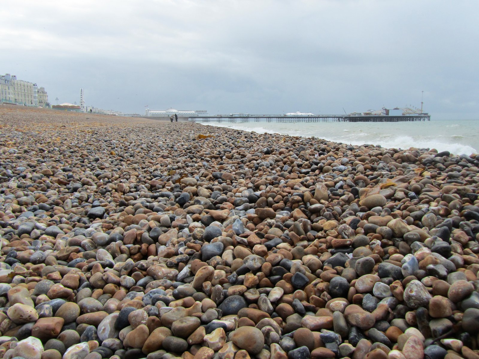
Archive: Brighton beach and Palace Pier, 2012. Photo: Jvhertum / Wikimedia Commons, CC BY-SA 3.0. Not Storm Austen or today’s sea conditions.


Leave a Reply