Last updated: 31 October 2026, 09:15 GMT. This report examines the Environment Agency’s 23–29 October assessment, published on 30 October.
Sussex rainfall after storms Austen and Boelo has not ended the region’s water-resource pressures. The Environment Agency’s latest weekly assessment records a substantial improvement in England’s rivers and some reservoir stocks, while severe drought remains in the supply areas dependent on Ardingly Reservoir. The practical lesson is to check stored water and supplier notices separately from the weather outside.
Sussex rainfall: what the new report changes
The Environment Agency assessment calls this England’s wettest reporting week since October 2024. Most monitored river flows were normal or higher, and more than two-thirds of monitored reservoirs or reservoir groups gained storage. Groundwater levels, however, continued falling at most sites because dry soils limit recharge.
These are measurements of different parts of the water system. A river can respond to recent rain while a depleted store remains low. The report’s national rainfall percentage also does not tell us how much fell at a Brighton address or how much reached a particular reservoir. We have not converted it into a local rainfall total.
Ardingly’s own reading has a different date
South East Water’s reservoir page, checked on 31 October, gives Ardingly as 18.8% full and Arlington as 40.3% on Sunday 25 October. These should not be presented as measurements taken on 31 October or combined with the national 27 October stock figure to calculate a local change.
The supplier explains that Ardingly is filled using the River Ouse and Arlington using the River Cuckmere. Its normal refill period runs from October to April. Rainfall during that season matters, but a wet week is not a direct promise about the level at which a particular reservoir will finish winter.
Why it matters for Brighton and Sussex households
The distinction helps avoid two misleading conclusions: that recent storms mean every water restriction has ended, or that a low reservoir figure means every Sussex tap is about to run dry. Neither follows from these datasets alone.
Identify your drinking-water supplier before interpreting an area notice. County boundaries, a forecast location and a supply zone are different things. The Environment Agency’s updated regional assessment still identifies Ardingly-dependent areas under severe drought; it does not turn all Brighton and Hove properties into one identical supply case.
Brighton Locals’ view
Our judgement: improved river flows and rising national stocks are welcome evidence, but the meaningful test for Sussex is sustained recovery in the resources serving affected customers. Rainfall totals deserve reporting alongside dated reservoir measurements, rather than being used to announce recovery prematurely.
The evidence that would change that assessment is a continued improvement in local storage and an explicit change in the relevant supplier’s notices. That is more informative than another photograph of a wet pavement or a sunny forecast.
What you should do
Use the supplier’s weekly level page for the latest dated measurement. Check its current restrictions and incident notices for your address before changing water use. If a rule is unclear, ask the supplier about the specific activity rather than borrowing an exemption from another company’s area.
Our earlier severe-drought report explains the declaration and the difference between supplier restrictions and a drought classification. For a planned outing, use our weather desk separately: a resource assessment is not a short-range forecast.
What happens next
The next supplier readings and Environment Agency weekly assessment will show whether the recent improvement persists. Preserve the dates when comparing them, and compare like with like.
Rain has helped. Recovery still needs evidence from the stores that supply the water.
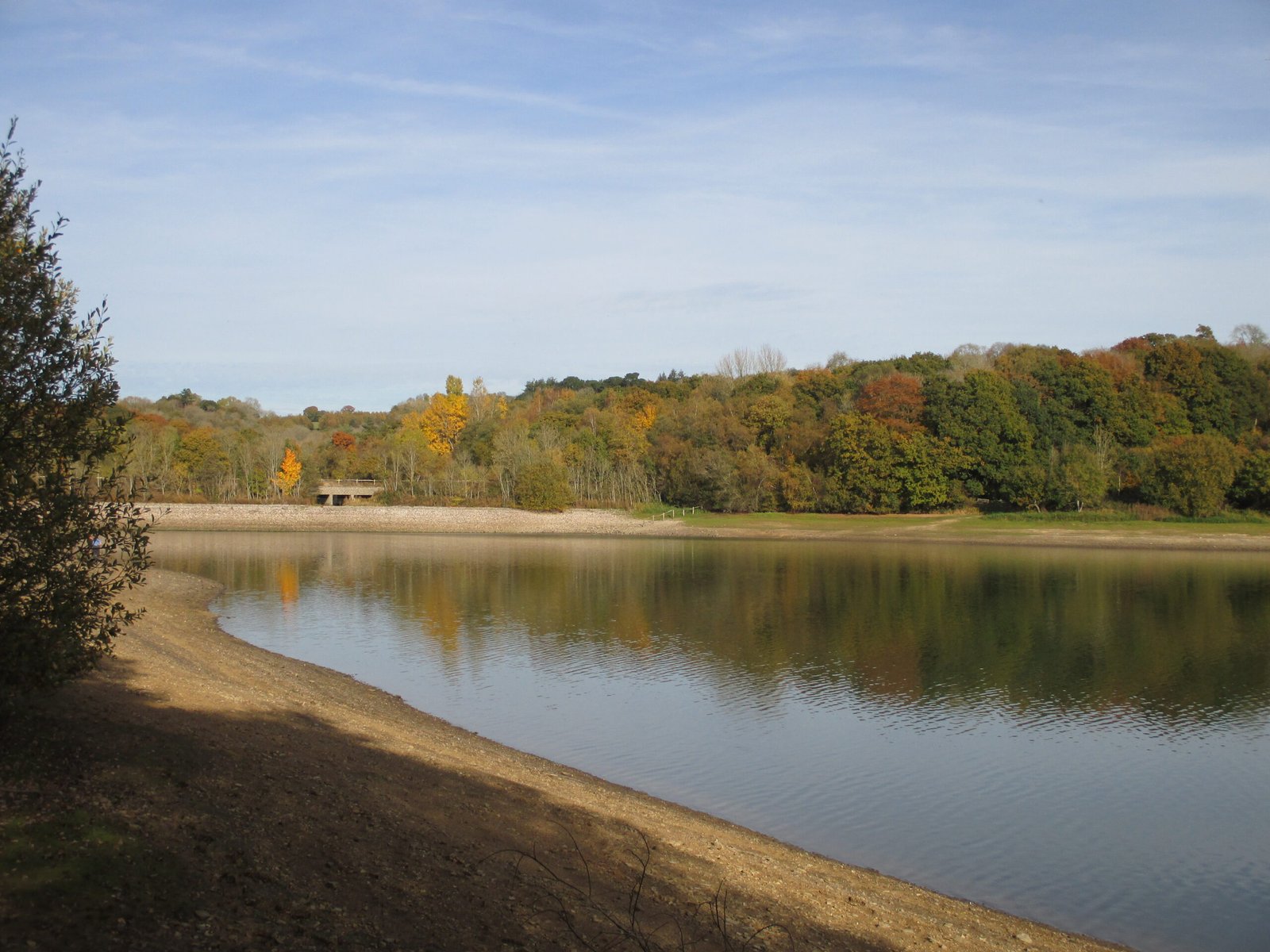
Archive photograph: Ardingly Reservoir and Balcombe Lane causeway, 31 October 2016. Antiquary / Wikimedia Commons, CC BY 4.0. Not October 2026 water levels.

Leave a Reply