Last updated: 10 October 2026, 10.38pm BST.
Brighton is forecast a mostly dry and mild Sunday, with sunny intervals and a high near 16C, before cloud, rain and stronger winds move in on Monday 12 October.
Brighton weather for Sunday
The Met Office Brighton forecast shows a dry start on Sunday, with temperatures around 9C at 7am and 8am. The city is forecast to reach about 15C by early afternoon and 16C around 3pm and 4pm.
Sunny intervals are expected through much of the day. The hourly precipitation chance remains below 5% through the morning and afternoon, before increasing to 20–30% during the evening. Winds are light by Brighton standards, generally 3–7mph through the middle of the day, with gusts building later.
Sunrise is around 7.17am and sunset around 6.16pm, so outdoor plans should use the earlier daylight rather than relying on a long evening.
What changes on Monday
Monday is forecast to be milder but less pleasant. Temperatures may sit near 16C from the early hours and rise to around 18C later, while mist and light rain develop. The current hourly page places light rain from late morning into the afternoon and evening.
The regional Met Office outlook says rain and low cloud may be heavy at times before a drier spell on Monday afternoon, with further rain possible on Tuesday morning. That broad regional wording and the Brighton hourly symbols are not identical, which is normal at this range. Timing may change as the event gets closer.
Maximum gusts are shown near 31mph on Monday. That is not presented as a severe-weather event, but it is relevant on exposed parts of the seafront and for umbrellas, cycling and lightweight outdoor equipment.
What residents and visitors should do
- Sunday is the stronger window for parks, the seafront and outdoor events; take a warmer layer for the morning and after sunset.
- For Monday commuting, carry waterproof clothing and allow extra stopping distance if driving or cycling in rain.
- On the coast, check conditions again before watersports or long exposed walks.
- Check transport updates separately. Weather is not the only disruption this weekend; our Brighton rail replacement-bus guide covers the planned engineering closure.
Brighton Locals’ view
Our assessment: this is a useful planning forecast rather than a warning story. Sunday currently offers a good dry window, while Monday looks more unsettled. The main mistake would be treating the precise start of rain as fixed more than a day ahead.
What to watch next
Forecast confidence improves closer to the time. Check the Met Office page on Sunday evening for any shift in Monday’s rain timing, gust strength or warning status.
Bottom line: make the most of Sunday’s dry spell. By Monday, waterproofs and a little more travel time are the sensible plan.
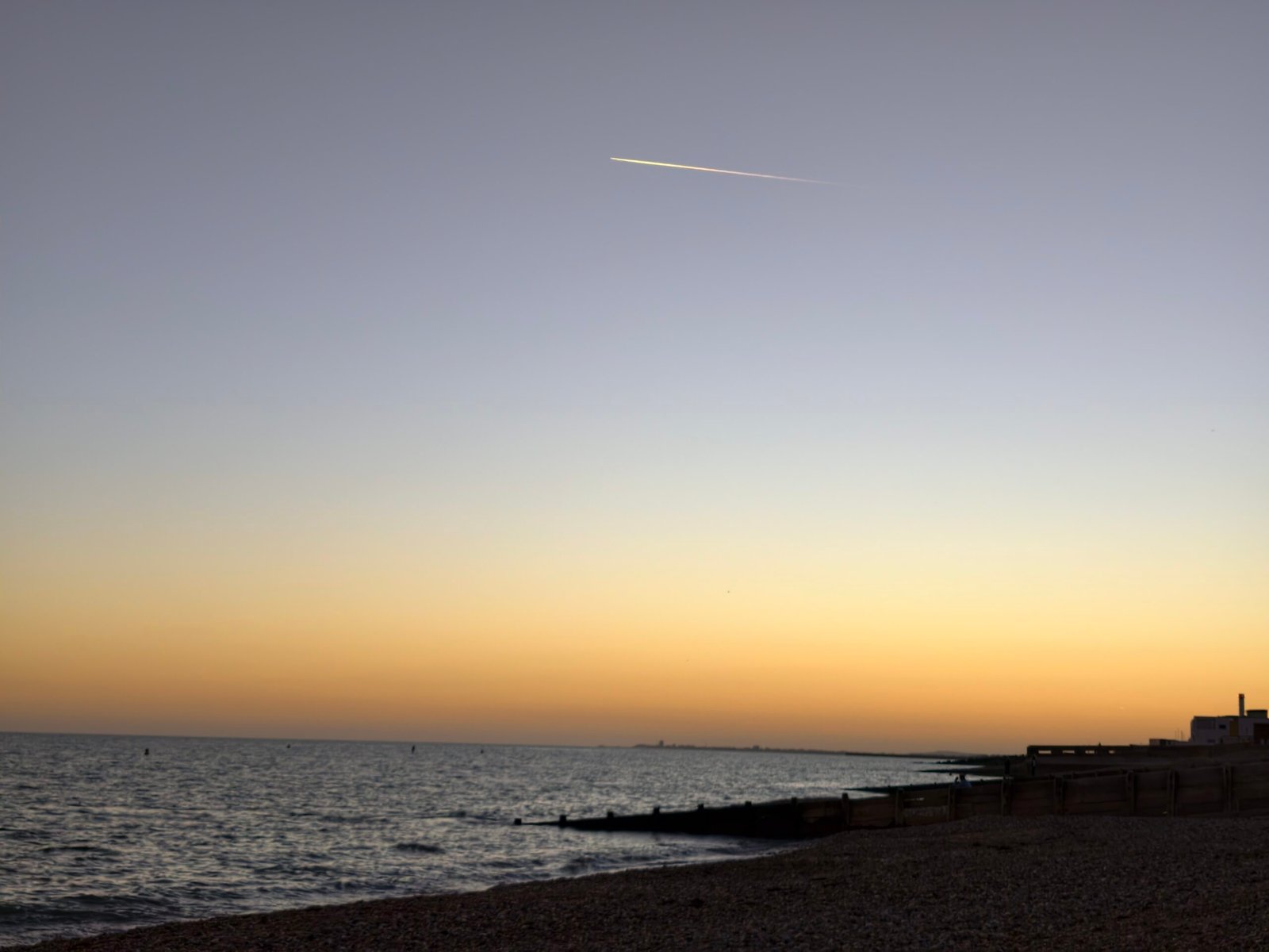
Featured image: Hove seafront in September 2026. Original photograph by Brighton Locals; it is a contextual coastal image, not a live view of Sunday’s weather.

Leave a Reply