Last updated: 15 October 2026, 9.03pm BST.
Devil’s Dyke from Brighton can be a short escape onto the South Downs, but the simplest plan is not always to follow the longest walking route. The bus calendar, parking arrangements and uneven ground all shape what is realistic. This guide brings together the current official information checked on 15 October 2026, without pretending that a desk-researched route is a first-hand walk.
At a glance
- Check the actual travel date on Brighton & Hove Buses’ route 77 page, including your return.
- National Trust non-member parking is listed at £1.65 for one hour, £3.30 for up to two hours and £8 all day.
- The Discovery Trail uses QR codes to explain the landscape, hillfort and Victorian attractions.
- The trail is unpaved, includes uneven ground and has steep sections.
- A shorter visit near the viewpoint can be a different outing from following the full trail.
Getting to Devil’s Dyke from Brighton
The official Breeze 77 service page identifies the route between Brighton Pier and Devil’s Dyke and lets passengers select a travel date. Use that date-specific check rather than assuming the service runs daily throughout the year. Confirm the departure stop, outward journey and final suitable return before settling on a walk.
The National Trust’s visitor page describes a seasonal operating pattern, including weekend and bank-holiday services outside summer. It also lists route 17 to Poynings with an uphill walk onward. The operator’s current timetable is the place to resolve the journey you actually intend to make.
For a family trip, work backwards from the return journey: decide how much walking time you have after allowing for breaks and getting back to the stop. A route that fits on a map may not fit comfortably between the buses you need.
Driving: the parking budget and check-in
The National Trust lists the main car park under JustPark location 80558. Its current non-member charges are £1.65 for one hour, £3.30 for up to two hours and £8 all day. Members and Blue Badge holders park free under the arrangements described on the visitor page. Members should follow the stated check-in instructions rather than assuming that parking without recording membership is sufficient.
The same page says payment machines are available and advises anyone using the app to download it and set up their account before visiting. Treat those charges as the checked planning figures and confirm the signs when you arrive, particularly if a short stop is turning into a longer walk.
What the Discovery Trail adds
The official Discovery Trail guide, published on 30 June 2026, offers an almost circular route around the Iron Age hillfort. QR plaques on posts and benches open short videos on an internet-enabled phone. Subjects include the hillfort, the Victorian fairground, how the valley formed and the role of grazing.
The guide starts with codes near the viewpoint and car park, then explains how to find further stops. Its map is more useful than trying to recreate turns from a short article. Open it before setting off, and keep enough phone charge for navigation and the return journey.
The videos are also available on the official page for people who cannot visit in person. That is a useful option for exploring the history without assuming everyone can manage the full terrain.
Access, dogs and choosing a suitable outing
The trail guide explicitly says the route is not paved, the ground can be uneven and parts are steep. Those are meaningful limits for wheelchair users, people with reduced mobility or families bringing a pushchair. Do not read “almost circular” as a promise of a level, easy circuit.
Consider the experience you want before choosing the route: a view and a short exploration, or a more sustained walk with slopes. If access is the deciding factor, read the visitor page’s accessibility information and contact the National Trust to discuss the part you intend to use.
The visitor guidance welcomes dogs but asks owners to keep them controlled, use main paths and put them on leads around livestock and wildlife. Grazing is part of looking after the downland, so leave room for it in the way you plan the walk.
Brighton Locals’ view
Our assessment is that the Discovery Trail gives a familiar viewpoint a useful extra layer: visitors can explore why the place looks as it does, rather than simply arrive for a photograph. Its value depends on matching the outing to the people coming. A comfortable shorter visit is a better plan than a full circuit that ignores the ground or the last bus.
For another downland option, compare our Ditchling Beacon planning guide. Before leaving, check the latest weather coverage, then the location forecast and operator’s timetable. Those checks turn a general idea for a day out into a workable journey.
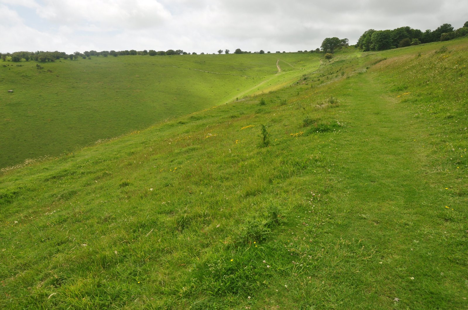
Featured photograph: Archive: Devil’s Dyke, West Sussex, 22 June 2012. Photo: Nilfanion / Wikimedia Commons, supported by Wikimedia UK, CC BY-SA 4.0. Resized and display-cropped versions retain the same licence. This does not show present trail conditions.


Leave a Reply