Last updated: 14 October 2026, 7:34am BST.
Brighton flood risk is best checked through three separate questions: what the long-term area map shows, whether a current warning applies, and what your household would do if disruption occurred. A UN housing-resilience statement published on 13 October 2026 reinforces the importance of preparedness, but its global figures are not a forecast for Brighton or a probability that a particular home will flood.
In short
- UNDRR reports that housing accounts for 43% of direct economic disaster losses reported through the Sendai Framework Monitor.
- The figure is global and covers disasters, not just UK weather or flooding.
- England’s long-term checker describes an area’s risk, not the likelihood of flooding inside one property.
- Environment Agency warning messages do not cover surface-water flooding.
What is new in the UN evidence?
The UN Office for Disaster Risk Reduction’s original 13 October statement calls for safer housing and households better able to act on warnings. It also cites modelled annual residential-building losses of about $228 billion from cyclones, floods, tsunamis and earthquakes.
These are different measures: reported losses in one dataset and modelled average annual losses from four hazards in another. Neither is a Brighton loss estimate, a bill for this year alone, or proof that every hazard is caused by climate change. Earthquakes and tsunamis should not be relabelled as weather.
Brighton flood risk check one: the area map
Use the government’s long-term flood-risk service for England. It covers rivers and the sea, surface water, reservoirs and groundwater where data is available, and can show how climate change may alter an area’s risk.
Its limits matter. The service says it does not tell you how likely an individual property is to flood, and does not cover sources such as blocked drains or burst pipes. An area classification is therefore a starting point for questions, not a property guarantee. Someone considering a move or building work should not substitute a broad map for the relevant property-specific assessment.
Check two: live warnings, including the gap
The Environment Agency’s free warning-registration service offers messages about rivers, the sea or groundwater, depending on the area. It explicitly does not issue warnings for surface-water flooding, sometimes described as flash flooding.
That gap is why “I have not received a flood text” cannot establish that heavy rain poses no risk. Use the official Flood Action checking links for current alerts, water levels and the next-five-days outlook, alongside Met Office weather warnings. This article is an explanation, not an announcement of a current Brighton flood warning.
Check three: make the plan usable
The government’s Prepare guidance provides a household-plan template and suggests recording important contacts on paper, agreeing a meeting point and keeping essential documents easy to gather. Discuss what assistance household members would need; a plan that assumes everyone can move quickly or carry heavy items may not work.
Start with the free checks and practical conversations rather than buying equipment on the strength of a global statistic. If the online warning service is difficult to use, Floodline is available on 0345 988 1188, with a 24-hour service for registration and updates. Call 999 if someone is in immediate danger.
Brighton Locals’ view
Our judgement is that preparedness improves when the information is specific and honest about its limits. Area risk, present conditions and a household’s ability to act are related but not interchangeable. Sensible preparation should include people with limited mobility or digital access, not place the responsibility for resilience on them alone.
What to watch next
Revisit the current-warning links when heavy rain or coastal conditions are forecast, and update registration details if you move or change phone number. Changes to local warnings or the official risk information would matter more to an immediate Brighton decision than a global loss headline.
Bottom line: know which risk you are checking, understand what the warning service misses, and make a plan your household can actually use.
Featured image and source
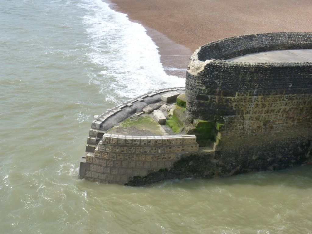
Albion Groyne near Brighton Pier, photographed after storm damage on 28 April 2014. Archive coastal-asset photograph, not current conditions, flood damage to homes or an image from the UN housing dataset. Les Chatfield, CC BY 2.0. Display may be resized or cropped. Image source and creator; licence information.


Leave a Reply