Last updated: 18 October 2026, 01:44 BST.
The Brighton inshore forecast for Sunday 18 October 2026 flags strong coastal winds in the North Foreland to Selsey Bill area, which includes Brighton and Hove. The Met Office bulletin was issued at 00:01 UTC, or 01:01 BST, on Sunday.
In short
- The forecast period runs from 01:00 BST Sunday to 01:00 BST Monday.
- North or north-east winds are forecast at force 5–6, becoming cyclonic force 3–5 later.
- Rain or showers may be thundery; visibility is generally good but occasionally poor.
- This is marine information, not a new colour-coded land warning.
Brighton inshore forecast: what the bulletin actually says
The official forecast describes seas in this area as slight or moderate. It covers a long stretch of coast, not an exact hour-by-hour prediction for a single Brighton beach. The possibility of thunder does not mean every location will have a thunderstorm.
According to the Met Office forecast key, strong coastal winds are flagged when force 6 or more is forecast in the first 24 hours. The inshore service covers waters up to 12 miles offshore in 19 areas. It is issued four times daily for periods beginning at 00:00, 06:00, 12:00 and 18:00 UTC.
Why it matters on the Sussex coast
A city forecast and a marine bulletin answer different questions. Someone walking to a café may be interested mainly in showers; someone taking a small craft onto the water needs wind direction, sea state and local conditions. “Slight or moderate” is a forecast category, not an assurance that an activity is safe.
Nor should a clear-looking stretch of water be treated as evidence that a northerly wind is harmless. Conditions close to the shore and further out can differ. This report does not supply tide times, a lifeguard timetable or a swimming-safety clearance.
What water users should do
Reopen the official bulletin before setting out and select “North Foreland to Selsey Bill”, rather than relying on this saved summary. Check tide times and local conditions separately.
The RNLI’s published water-safety advice is to avoid paddleboarding in offshore winds, wear a suitable buoyancy aid and carry a means of calling for help on your person. If someone is in difficulty at the coast, call 999 and ask for the Coastguard.
Brighton Locals’ view
The useful message is to check the marine forecast before committing to a water-based plan. Turning a regional strong-wind flag into a claim that Brighton has a new emergency warning would exaggerate the evidence. Ignoring it because the promenade looks calm would miss its purpose.
What happens next
The next scheduled forecast period begins at 06:00 UTC, or 07:00 BST. Later bulletins can change the detail. Use the live source for decisions later in the day.
Bottom line: a seafront view is not a marine forecast; check the updated coastal bulletin before going afloat.
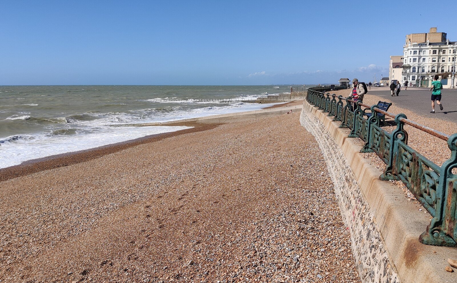
Featured image: beach and King’s Esplanade, Hove, 16 April 2025. Archive location photograph, not today’s sea conditions. Mat Fascione / Geograph, CC BY-SA 2.0. Resized and any display crop under the same licence.


Leave a Reply